


Saudehornet 1303
Vikegeila P-plass
-
Distances: 2 km, 5,8 km
-
Surface: Trail/Fjelløp
-
Location: Vikegeila P-plass
-
Date:
15 Aug
Race description
All information on this page is based on open source data. We do our best to keep it updated but cannot guarantee that everything is correct. If you see any inaccuracies, contact us and we will correct it as soon as possible.
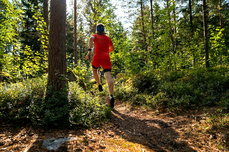
Saudehornet (1303 m) is a popular hike in Ørsta, known for its fantastic views and varied terrain. With an elevation of 1303 meters and a prominence of 825 meters, this route offers a challenging experience for both experienced and novice mountain hikers. The trail is characterized by paths that wind upwards towards the summit, providing visitors with a chance to enjoy the beautiful nature of Møre and Romsdal.
Highlights
- Saudehornet is known for its fantastic views and varied terrain.
- The route offers a challenging experience for both experienced and new hikers.
- The trails wind upwards towards the summit, offering visitors the chance to enjoy the beautiful nature of Møre and Romsdal.
Questions & Answers
Additional information
Detailed information
- Race name: Saudehornet 1303
- Location name: Vikegeila P-plass
- Distances: 2 km, 5,8 km
- Organizer website: https://ut.no/turforslag/1113172/saudehornet-1303-moh
- Surface / Race type Trail/Fjelløp