

Hålandsheia Rundt
Frøyland Skole
-
Distances: 11 km
-
Surface: Terreng
-
Location: Frøyland Skole
-
Date:
31 Oct
Race description
All information on this page is based on open source data. We do our best to keep it updated but cannot guarantee that everything is correct. If you see any inaccuracies, contact us and we will correct it as soon as possible.
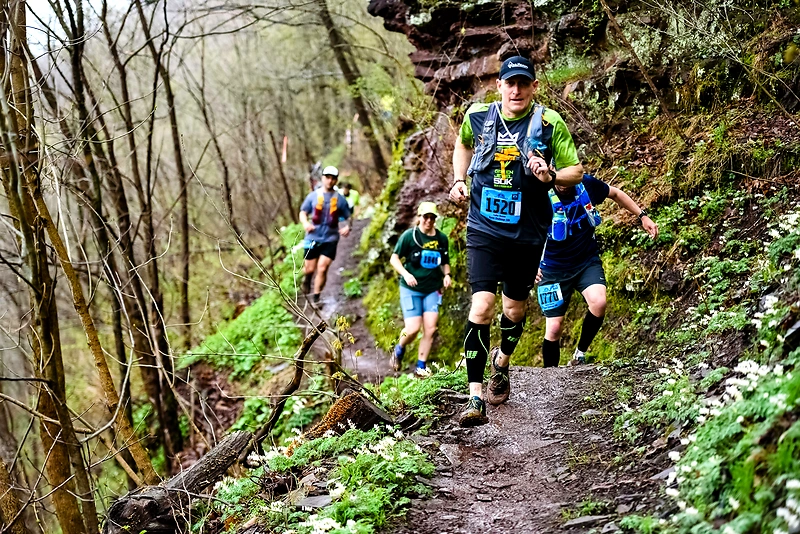
Hålandsheia Rundt is a popular running event in Mandal, combining trail and road over a distance of 11 km. The race starts and finishes at Frøyland School, taking participants through the beautiful and hilly landscape of Hålandsheia. The route goes around the entire Hålandsheia, offering fantastic views of the town and the sea, and includes a trip down to Buøya.
Highlights
- Hålandsheia is one of Mandal's most popular hiking areas, known for its varied terrain with marshes, forests, and bare mountains.
- The route is 11 km long and goes around the entire Hålandsheia, with the option to climb up to Flovarden for an even better view.
- The terrain offers open nature with pine forests, deciduous forests, and spruce forests, as well as historical sites like "The Scout Cabin."
Questions & Answers
Additional information
Detailed information
- Race name: Hålandsheia Rundt
- Location name: Frøyland Skole
- Distances: 11 km
- Organizer website: https://www.visitnorway.no/reisemal/sorlandet/lindesnes/listings-lindesnes-region/rundtur-i-h%C3%A5landsheia/18709/
- Surface / Race type Terreng
